
Based in Jacksonville, FL
Serving Florida & Alabama
Advanced
LiDAR Surveying & Aerial Metrology
Aerial Metrology & Inspection provides licensed surveying, LiDAR mapping, metrology, and reality-capture services that give engineers, architects, attorneys, and contractors the accurate site data they need to plan, design, and build.
Licensed & Certified
Professional services backed by industry credentials & expertise.
Quantity Take-Offs
Accurate material and earthwork calculations for better estimates.
LiDAR & Reality Capture
High-res site data and 3D models for planning, design, and analysis.
TRUSTED BY CONTRACTORS, ENGINEERS & DEVELOPERS
Turn Existing Conditions Into Actionable Data
Licensed Surveying Backed by Advanced Technology
Aerial Metrology & Inspection combines licensed surveying expertise with advanced LiDAR & reality-capture technologies to provide site understanding that traditional methods often cannot achieve alone. Through detailed LiDAR data, precise measurements, and comprehensive documentation, we help engineers, architects, attorneys, contractors, and property owners make informed decisions with greater confidence. From Northeast Florida to projects throughout Florida and Alabama, our focus remains on delivering accurate information that helps projects move forward successfully.
Licensed in Florida
Trusted by Professionals
Accuracy You Can Build On
Our Services
Surveying and Data Capture Services
Professional surveying and measurement services for residential, commercial, infrastructure, and development projects throughout Florida, with select services available in Alabama.
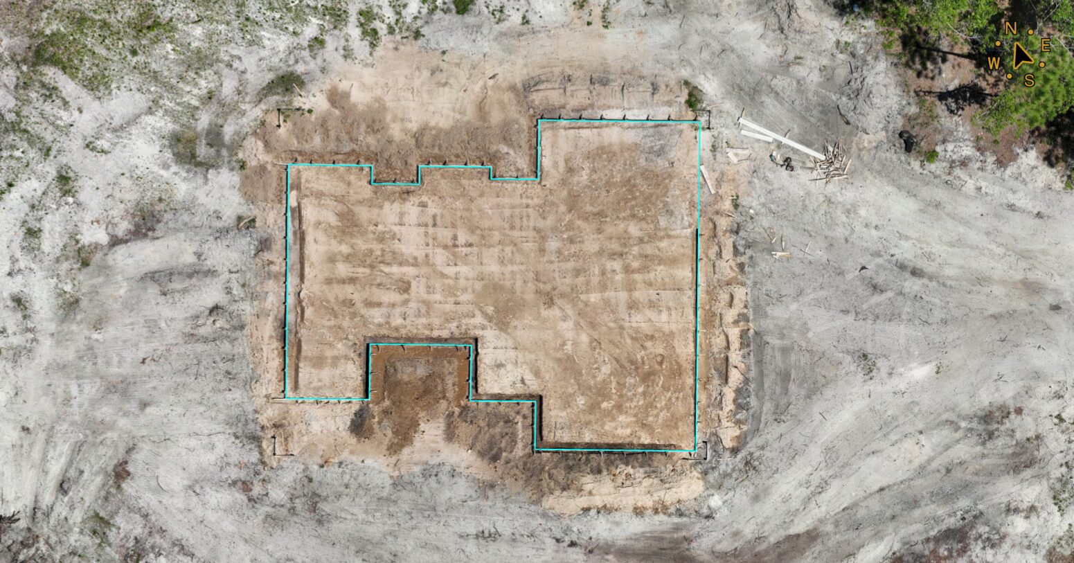
Boundary, Tree & Topographic Surveys
Accurate property boundaries, existing site features, elevations, and tree locations documented to support planning, design, permitting, and development.
Learn More
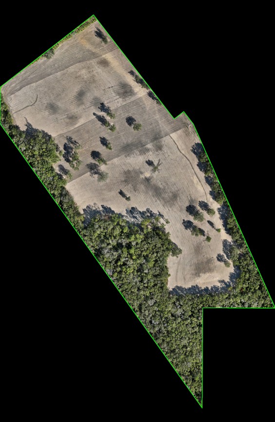
ALTA/NSPS Land Title Surveys
Comprehensive surveys that meet ALTA/NSPS standards, providing lenders, attorneys, buyers, and developers with detailed property information.
Learn More
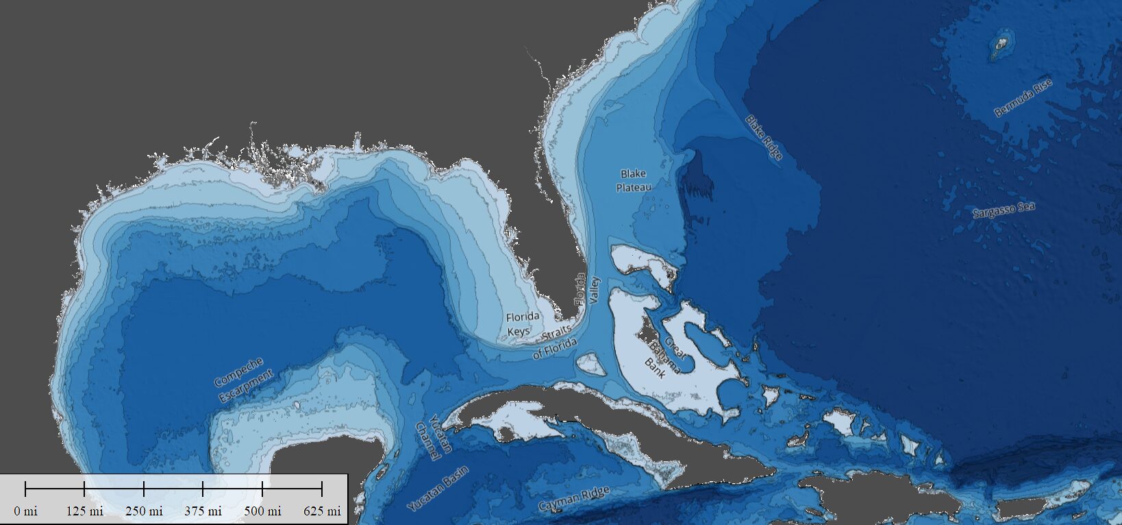
Hydrographic Surveying
Detailed underwater mapping and depth measurements using advanced sonar technology to support waterfront development, dredging, environmental assessments, and marine projects.
Learn More
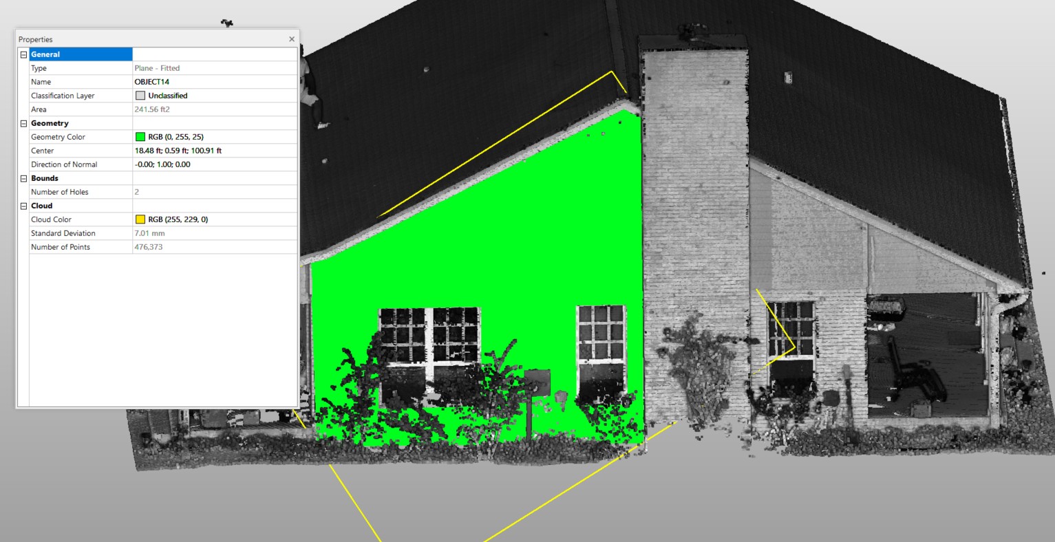
Construction & As-Built Surveying
Precise surveying services that verify project layout, monitor progress, and document completed conditions to confirm construction aligns with design intent.
Learn More
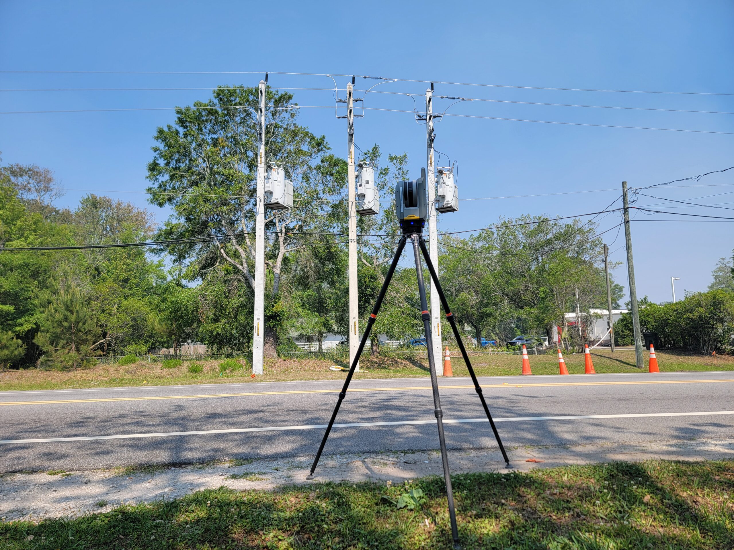
LiDAR & Reality Capture Services
High-density LiDAR data and reality-capture solutions that create detailed 3D models, point clouds, and digital site records for design, analysis, and decision-making.
Learn More
HOW WE WORK
A Clear Process For Accurate Data
Every project follows a structured process built to ensure accuracy, consistency, and clarity in the final deliverables.
1. Consult & Define Scope
We begin by understanding your project needs, site conditions, and deliverables. This includes identifying the appropriate surveying or reality-capture approach to ensure the right level of detail and accuracy from the start.
2. Capture & Measure the Site
Using licensed surveying expertise combined with LiDAR, photogrammetry, and other advanced measurement technologies, we collect high-resolution data that accurately represents existing site conditions.
3. Delivery & Project Support
We process and translate field data into clear, usable outputs such as maps, models, point clouds, and reports. These deliverables support planning, design, construction, and verification throughout every phase of your project.
- Horizontal Accuracy
- Vertical Accuracy
- Data You Can Trust
Why Choose Aerial Metrology & Inspection
Designed for Engineering-Grade Accuracy
Aerial Metrology & Inspection delivers high-precision site data designed for professionals who can’t afford uncertainty in planning or construction. Every project is approached with a focus on accuracy, consistency, and practical usability, so the information you receive is ready to support real-world decisions from day one.
- Florida-licensed surveying firm
- Specialized expertise in advanced surveying methods
- Data built for decision-making, not just documentation
- Strong regional understanding throughout Northeast Florida
- Deliverables built for real-world use
- Professional support for contractors, engineers, property owners, and more
Frequently Asked Questions
What to Expect from Your Project
These services are commonly used on projects that require accurate existing conditions before design or construction begins. This includes commercial developments, infrastructure upgrades, industrial facilities, drainage and grading projects, and sites with complex terrain or limited access where traditional surveying alone may not provide complete coverage.
Yes. While Aerial Metrology & Inspection is based in Northeast Florida, we provide services throughout the entire state of Florida and also support select projects in Alabama.
Yes. Many projects require a combination of airborne LiDAR, terrestrial scanning, and photogrammetry to fully document a site. We often integrate these methods into a single deliverable set so clients receive a complete, consistent dataset without gaps between different survey types.
We use survey-grade LiDAR systems, terrestrial laser scanners, and calibrated aerial imaging platforms depending on project requirements. All equipment is paired with GPS and control networks to ensure accurate georeferencing and consistency across datasets.
Yes. Our deliverables are commonly used to support permitting applications, design submissions, and engineering reviews. The level of detail provided helps demonstrate existing conditions clearly to regulatory agencies and review boards.
REVIEWS
Trusted Across Florida & Alabama for Accurate Site Data
Hear directly from engineers, architects, contractors, and property owners who rely on our data to move their projects forward.
Based in Jacksonville, Serving FL & AL
Speak with a Florida Licensed Surveying Team
Have a project that needs reliable surveying, LiDAR, or reality capture deliverables? Contact Aerial Metrology & Inspection to discuss your scope, timeline, and project requirements.
Fast Response
We respond quickly to understand your project needs.
Accurate Solutions
Precision data and practical deliverables.
Reliable Partner
Committed to your success from start to finish.